Arthur Gorrie
After three years of wet weather, including multiple Gympie region floods, all linked to a La Nina (wetter) weather pattern, forecasters are now increasingly predicting the return of the opposite, El Nino, the hotter drier Pacific weather influence on East Coast Australia.
Less rain will be good news up to a point after the extreme wet of recent years, but El Nino can mean hotter and dryer conditions.
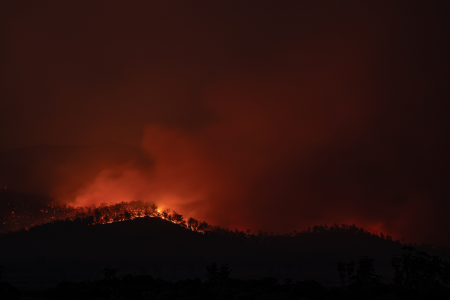
After the big growth seasons of recent years, dry sunny weather will quickly turn undergrowth and even pasture into potential fuel, prompting warnings of a dangerous fire season.
The Bureau of Meteorology says there are increasing signs of this in some of its weather pattern observations.
That could mean a hotter dryer climate period, potentially starting between now and August, altough the bureau says it is still too early to predict a persistent El Nino pattern.
El Nino events occur when sea surface temperatures rise in the central and eastern tropical Pacific, one forecaster said.
La Nina events are generally associated with cooler waters in that area.
One forecaster has advised that El Nino events are more likely to be felt in spring and to peak in December to February.
Another, quoted by SBS, said that fuel growth in recent wet years was a bushfire risk factor, regardless of whether an El Nino is declared.
Meanwhile weather bureau climate models reportedly indicate possible further warming of the central and eastern tropical Pacific.
The picture is likely to become clearer in coming months, forecasters say.
