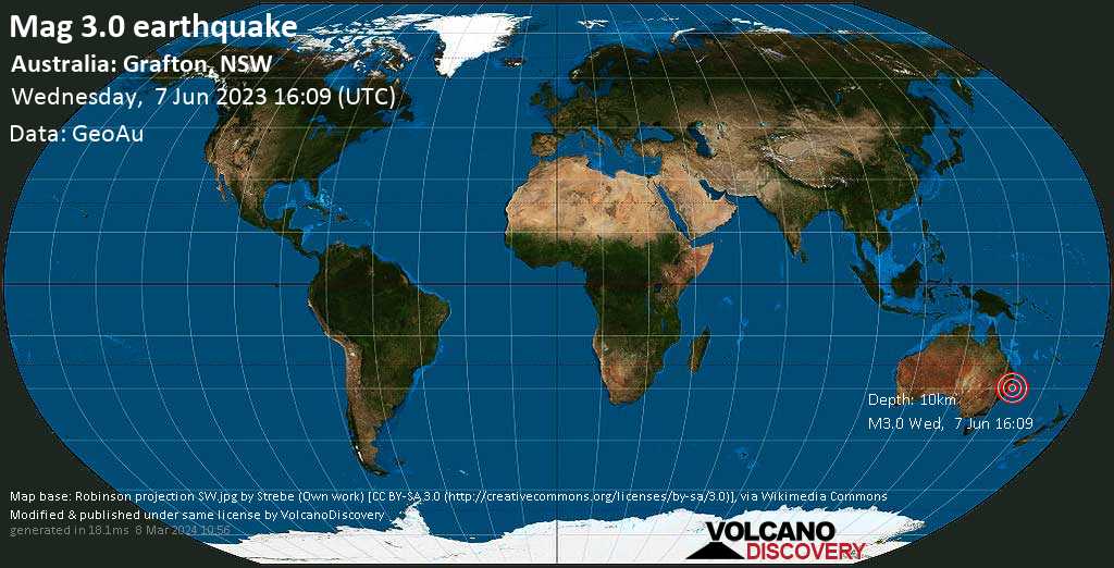

Terremoto leve magnitud 3.1 a 10 km de profundidad
7 Jun 16:18 UTC: Primero en informar: VolcanoDiscovery después de 9 minutos.
7 Jun 16:38: Ahora usando una nueva fuente de datos: GeoAu
7 Jun 16:55: Ubicación del epicentro corregida 2 km (1.2 mi) al N.
Update Wed, 7 Jun 2023, 16:45
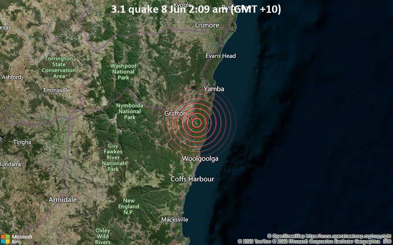
Small magnitude 3.1 earthquake 15 miles southeast of Grafton, Australia

3.1 quake 8 Jun 2:09 am (GMT +10)
Geoscience Australia (GeoAu) reported a magnitude 3.1 quake in Australia near Grafton, Clarence Valley, New South Wales, 36 minutes ago. The earthquake hit early morning on Thursday, June 8th, 2023, at 2:09 am local time at a shallow depth of 6.2 miles. Magnitude and other quake parameters can still change in the coming hours as the agency continues to process seismic data.
Towns or cities near the epicenter where the quake might have been felt as very weak shaking include South Grafton (pop. 6,200) located 15 miles from the epicenter, Grafton (pop. 10,500) 15 miles away, and Coutts Crossing (pop. 1000) 17 miles away. In Lawrence (pop. 1000, 19 miles away), Woolgoolga (pop. 5,500, 24 miles away), Yamba (pop. 6,900, 26 miles away), Emerald Beach (pop. 2,300, 27 miles away), and Coffs Harbour (pop. 26,700, 37 miles away), the quake was probably not felt.
¡Si estuvieras o todavía estás en esta área durante el terremoto, ayuda a otros con sus comentarios y lo reportan aquí!
Lo he sentido este temblor
No lo sentí
Detalles del terremoto
| Fecha y hora | 7 Jun 2023 16:09:16 UTC – |
| Hora local en el epicentro | jueves, 8 jun 2023 02:09 (GMT +10) |
| Status | Confirmado |
| Magnitud | 3.1 |
| Prof. | 10.0 km |
| Epicentro latitud / longitud | 29.749°S / 153.159°E |
| Antipode | 29.749°N / 26.841°W |
| Intensidad del temblor | Temblor muy débil |
| Sentido | 13 informes |
| Fuente primaria de datos | GeoAu (Geoscience Australia ) |
| Lugares cercanos | 4 km al ENE de Pillar Valley (pop: 324) | En el mapa | Sismos cercanos 23 km al ESE de Grafton (pop: 10,500) | En el mapa | Sismos cercanos 27 km al ENE de Coutts Crossing (pop: 1,050) | En el mapa | Sismos cercanos 29 km al SSE de Lawrence (pop: 1,010) | En el mapa | Sismos cercanos 40 km al SSO de Yamba (pop: 6,910) | En el mapa | Sismos cercanos 61 km al N de Coffs Harbour (pop: 26,700) | En el mapa | Sismos cercanos 494 km al NNE de Sídney (pop: 4,627,300) | En el mapa | Sismos cercanos 722 km al NNE de Canberra (Australian Capital Territory) (pop: 367,800) | En el mapa | Sismos cercanos |
| Tiempo en el epicentro en el momento del sismo | Scattered Clouds  7.9°C (46 F), humidity: 95%, wind: 2 m/s (3 kts) from WNW 7.9°C (46 F), humidity: 95%, wind: 2 m/s (3 kts) from WNW |
| Energía sísmica estimada liberada | 2.8 x 10⁹ joules (783 kWh, equivalente a 0.674 toneladas de TNT) | about seismic energy |
If you did NOT feel the quake although you were in the area, please report it! Your contribution is valuable to earthquake science, seismic hazard analysis and mitigation efforts. You can use your device location or the map to indicate where you were during the earthquake. Thank you!
Data for the same earthquake reported by different agencies
Info: The more agencies report about the same quake and post similar data, the more confidence you can have in the data. It takes normally up to a few hours until earthquake parameters are calculated with near-optimum precision.
| Revista | Prof. | Ubicación | Fuente |
| 3.1 | 10 km | Australia: Grafton, NSW | GeoAu |
Earlier earthquakes in the same area
Click here to search our database for earlier earthquakes in the same area since 1900!

